
Where is Greece located on the world map: mainland, islands, coordinates and neighbors
Greece is geographically characterized by diversity. On the one hand, high mountains and mountain ranges, on the other hand, countless surprises of the lace border of the land. Greece borders Albania, Bulgaria and Turkey. The westernmost point is the island of Corfu, the...

Geographic Position and Coordinates on the World Map
Greece, or Hellas, is located in Southeastern Europe, in the southernmost part of the Balkan Peninsula. Looking at the world map, the country is situated between 36° and 42° north latitude and 19° and 28° east longitude. This is the meeting point of Europe, Asia, and Africa, which historically made it a crossroads of civilizations. Greece is washed by three seas: from the east by the Aegean Sea, from the west by the Ionian Sea, and from the south by the Mediterranean Sea. The total area of the country is about 132 thousand square kilometers, with roughly 20% of this territory occupied by more than 3,000 islands, of which only about 200 are inhabited. The mainland borders four countries: Albania to the northwest, North Macedonia and Bulgaria to the north, and Turkey to the northeast. The capital of the state, Athens, is located in the Attica region in the southeast of the mainland part.
Срочная продажа
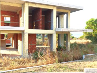
- 350m2
- 4
- 4
 Sithonia, Greece
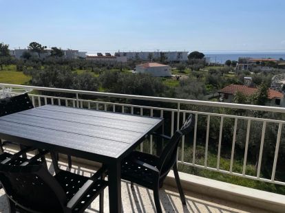
- 56m2
- 2
- 1
Sithonia, Greece
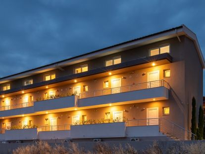
- 508m2
- 24
- 18
Sithonia, Greece
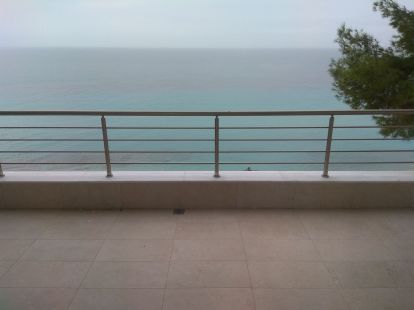
- 60m2
- 2
- 1
Kassandra, Greece
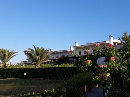
- 100m2
- 3
- 1
Kassandra, Greece
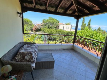
- 78m2
- 2
- 2
Kassandra, Greece
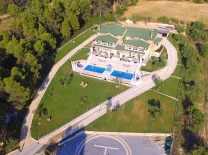
- 345m2
- 5
- 4
Kassandra, Greece
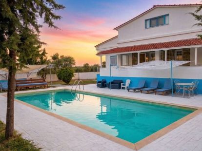
- 170m2
- 5
- 3
Sithonia, Greece
Regions, Islands, and Key Resorts: What is Where
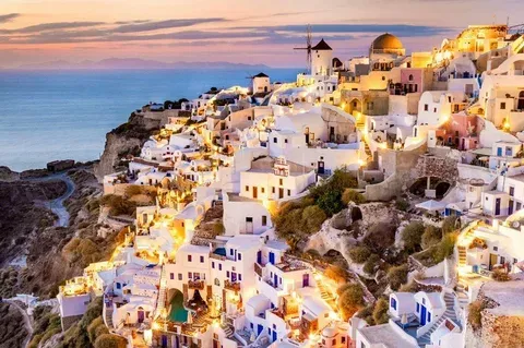
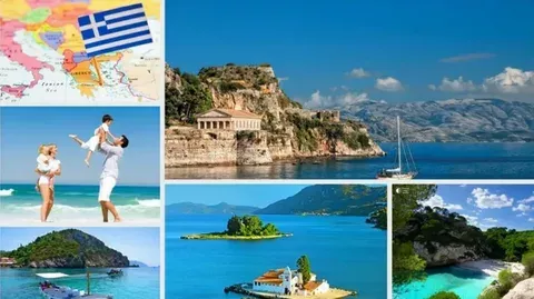
The territory of Greece is traditionally divided into three large zones. The mainland part in the Balkans includes the capital region of Attica, the historical regions of the Peloponnese (connected to the mainland by the Isthmus of Corinth) and Thessaly, known for the monasteries of Meteora. Island Greece consists of vast archipelagos. The largest island is Crete (8.3 thousand sq. km), located in the south. To the east of the mainland lie the Cyclades (famous Santorini and Mykonos) and the Dodecanese (Rhodes, Kos). To the west are the Ionian Islands (Corfu, Zakynthos). It is the islands that are the main resorts of the country. For example, Santorini is located in the southern part of the Cyclades, 200 km southeast of Athens. Rhodes is the easternmost of the major islands, closer to the shores of Turkey. For orientation, tourists actively use interactive maps (e.g., Google Maps), which allow them to examine in detail not only the location of islands but also beaches, hotels, and attractions.
How to Get There and Practical Information for Travelers
To enter Greece, Russian citizens need a Schengen visa. The main international airports receiving flights are located in Athens (Eleftherios Venizelos, code ATH), Thessaloniki (SKG), and on Crete in Heraklion (HER). Direct flights from Moscow are currently operated with connections, most often via Istanbul. Flight time including layovers is from 5 to 8 hours. The popularity of Greece among tourists is explained by the unique combination of beach holidays and cultural tourism. Average prices for holidays here are democratic by European standards: a comfortable room can be found from 40-80 euros per night, and a good dinner will cost 10-20 euros. The climate is Mediterranean: dry, hot summers (up to +35°C) and mild, rainy winters (+10...+15°C). The resort season on the islands lasts from April to October, and the "velvet season" in September-October is ideal for excursions. Thus, answering the question "Where is Greece located", we can say: it is a sunny country in the south of Europe, whose advantageous location on the map has given it a unique history, a wonderful climate, and endless variety of places for an unforgettable vacation.