
Montenegro on the world map
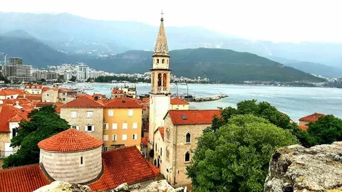
Montenegro on the World Map: Geographical Positioning and Significance
Montenegro is located in southeastern Europe on the Balkan Peninsula. The territory of Montenegro is 13 812 km2 approximately. It borders with Croatia (14 km length) to the West, Bosnia and Herzegovina to the North (225 km), Serbia in the East (203 km), Albania to the South (172 km), and separated from Italy by the Adriatic sea. The length of the coast is 293,5 km.
the End points of Montenegro are: North: 43 32 'SAF, 18 58' IGD - slopes of the mountains Kovacs, near the village of South Rocevici: 41 52 'SGŠ, 19 22' IGD - at Ada Bojana, at the mouth of river Bojana in the East: 42 53 'SGS, 20 21' IGD - in the village of Yablanitsa to the East of Rožaje West: 42 29 'SGŠ, 18 26' IGD - near the village of Sutorina near Herceg Novi Montenegro is Geographically divided into three zones: coastal, Central and mountain. Primorye is the most southern district with narrow zone (width of 1-10 km), stretching along the Adriatic sea, from the village of Igalo in the West to the mouth of the river Bojana on the East. The coast is cut by numerous bays and coves.
The biggest Bay is Boka Kotor, which cuts into the mainland for almost 20 kilometers. From the mainland coast, separated continuous Dinaric mountain range, with peaks of 1600 m above sea level. Average summer temperature ranges from 23.4 to 25.6 per C. Summers are long and dry while winters are short and mild. The bathing season lasts from late April to early October. From the West to the East of the beach they are a little blend from rocks to sand.The Adriatic region is covered by a relatively narrow zone of Montenegrin coast from Cape Sharply to the mouth of the river Bojana, and towards the interior region of the Adriatic region extends to the valley of the Bojana and Skadar basin and to the valleys of Moraca and Zeta.
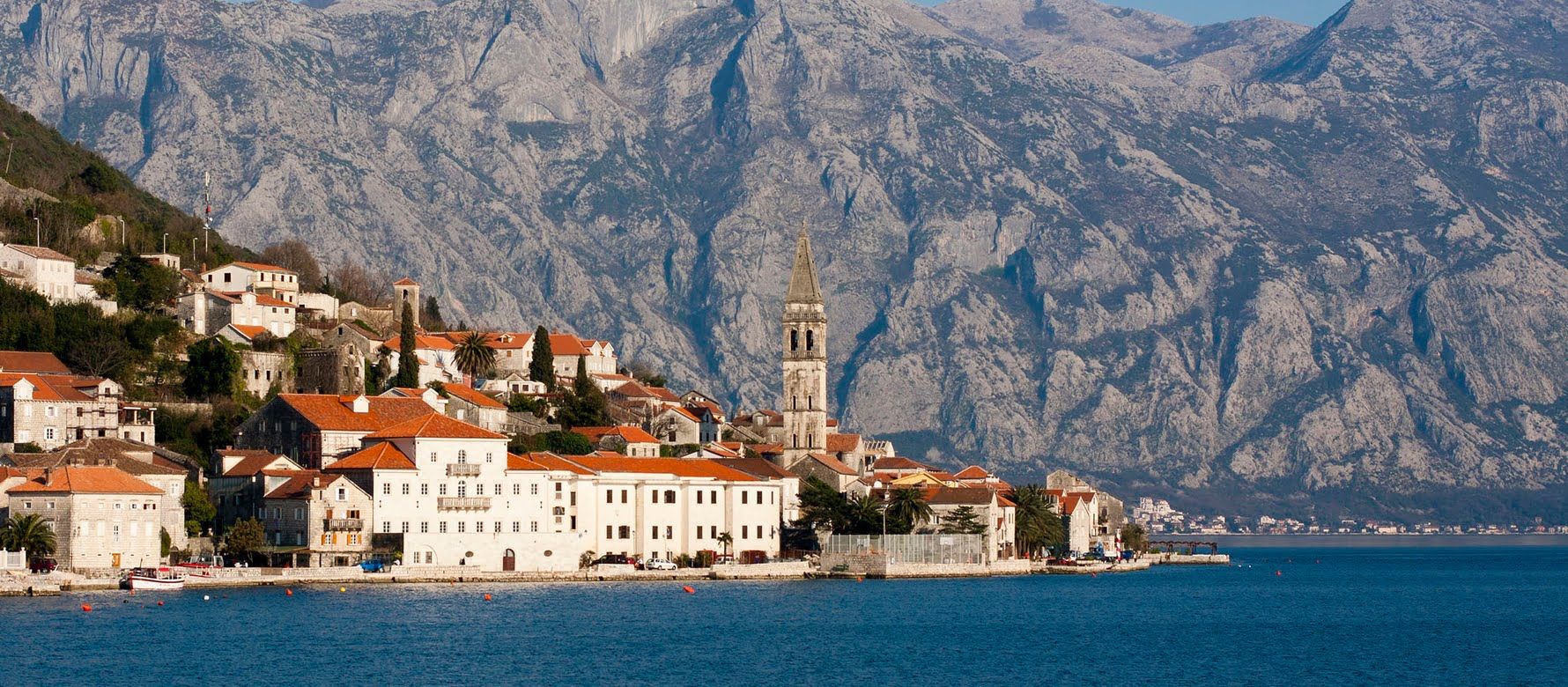
On a limestone substrate developed a special type of soil is reddish in colour, suitable for growing tobacco, grapes, fruit, olives and other crops. In addition to the reddish color also found in flysch. The Adriatic area is divided into: Boko-Kotor Bay, Crnogorsko or Pastrovich Primorye, Barsky-Field, Skadar-Fables and Secco-Bjelopavlicka plain. The Bay of Kotor consists of four smaller bays: the Toplan, Tivat, Risan and Kotor. Bays Toplan and Tivat connect Samborski Strait Risan and Tivat and the Verige Straits and represent the southern-most fjord in Europe.
the Coast of Pastrovich extends from Ulcinj to Boka. It is dominated by mountains Rumi and Sterman. The island of Sveti Stefan with its sandy cover was connected to the coast and turned into a Peninsula and a tourist city hotel. In this part of the Adriatic region there are the sandy beaches of Becici, Milocer, Sveti Stefan, Ulcinj, etc. Great beach near Ulcinj is the longest beach in Montenegro, with a length of about 13 km. the Central part of Montenegro consists of two parts. The first part is a mountain wreath which literally overflows coast. Rarely fertile pieces of land are grouped only in small karst plains and craters in the shape of a crater. This part of the country is a real champion in Europe by the amount of precipitation. In these places is the ancient Montenegrin capital of Cetinje. In the vicinity of the city is one of four national parks in the country, mount Lovcen. The second part of the Central geographical area is plain. It includes a swimming pool on lake Skadar (national Park), the fertile plain of the river Zeta, plain Bjelopavlici and Niksicko field. This is the place with the highest population density in Montenegro. Here are two of the largest industrial center - Podgorica and nikšić.
in summer in Summer summer is very warm and the temperature reaches 40 degrees Celsius. Average winter temperature usually does not fall below minus five degrees. Fertile soil, plenty of water, the Mediterranean climate make this part of the most fertile part of Montenegro and its granaries. Scandalous pool represents the largest captopress on the Balkan Peninsula. Its maximum depth lies at about 38 m below sea level, and the surface of the lake is 6 m above sea level. It is also the largest lake in Montenegro. The mountain area occupies the Northern part of the country. Here a very pronounced sub-Alpine climate with cold, very snowy winter and moderately warm summer. In mountain wreaths, many pastures, forests and mountain lakes.
the Rivers Piva, Tara, Moraca and their tributaries have formed in the cliffs many canyons. In the mountain area are two national parks: Biogradska Gora - tropical forest near the town of Kolasin and Durmitor with Tara river canyon (national Park, protected by UNESCO). The mountains of Montenegro are one of the least accessible areas in Europe. Their average height is over 2000 m. the highest peak of Montenegro - the Evil Kolata Prokletie, the height of which 2534 meters. One of the most famous peaks of Montenegro is Bobotov Kuk in the Durmitor mountain, which is located at a height of 2523 m.
the Mountains of Montenegro belong to the area of the Balkan Peninsula that is most affected by erosion during the last ice age. The rivers of Montenegro are the Adriatic to the black sea and the pools. The longest river Tara (141 km). Other longer rivers of Beer, Retina, Zeta, Moraca and Bojana, Tara river flows through a canyon with a length of 1300 meters. The only river - Rijeka crnojevića. Lakes in the mountainous parts of Montenegro are of glacial origin. The largest and most famous of them are Plavsk, Biograd, SASCO and crno Jezero.
Срочная продажа
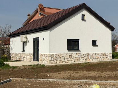
- 80m2
- 1
- 1
- 1
 Podgorica, Montenegro
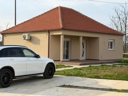
- 99m2
- 1
- 2
- 1
Podgorica, Montenegro
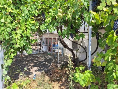
- 91m2
- 1/2
- 2
- 1
Sutomore, Montenegro
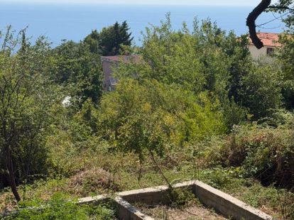
- 332m2
Sutomore, Montenegro
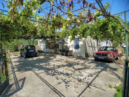
- 192m2
- 1
- 4
- 3
Sutomore, Montenegro
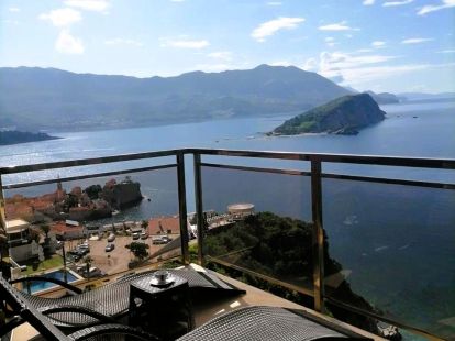
- 78m2
- 5/6
- 1
- 1
Budva, Montenegro
- 130m2
- 1
- 2
- 1
Bar, Montenegro

- 37m2
- 1/4
- 1
Baošići, Montenegro
What is Montenegro on the modern world map?
It is a small yet strategically significant country in Southeastern Europe, located in the western part of the Balkan Peninsula. In terms of world geography and politics, Montenegro represents a unique example of a nation at the crossroads of civilizations, cultures, and historical paths. Its geographical position between the Adriatic Sea and the mountain ranges of the Dinaric Alps determines not only its natural wealth but also its economic, tourist, and geopolitical vectors of development. Studying its position on the map helps to understand why this country, despite its modest size (13,812 km², ranking 155th in the world), plays a noticeable role in the Balkan region and attracts growing attention from international investors and tourists.
Why is understanding its location important? It is critical for analyzing tourist flows, logistics routes, investment attractiveness, and the country's political course. Montenegro serves as a bridge between Central Europe and the Mediterranean, boasting access to the warm waters of the Adriatic (coastline length of 293.5 km) while simultaneously being part of the complex Balkan mountainous region. This makes it ideal for developing both beach and active mountain tourism. From a geopolitical standpoint, its membership in NATO (since 2017) and its candidate status for EU membership (since 2010) strengthen its position as a stable and pro-European actor in a historically turbulent region. Understanding the map of its borders—with Croatia, Bosnia and Herzegovina, Serbia, Kosovo, and Albania—is key to analyzing regional relations and economic cooperation.
What is included in the basic "list" of its geographical characteristics? First, there is a clearly pronounced natural division into three key zones: the coastal strip with a subtropical climate, the central plain area with the largest cities of Podgorica and Nikšić, and the eastern mountain systems with the peaks of Durmitor and Prokletije (highest point—Bobotov Kuk, 2,522 m). Second, the hydrographic network: rivers of the Danube (Tara, Lim) and Adriatic (Moraca) basins, as well as the largest lake in the Balkans, Skadar Lake, 60% of whose waters belong to Montenegro. Third, unique natural objects, such as the Tara River Canyon (up to 1,300 m deep—the deepest in Europe) and the Bay of Kotor—one of the most picturesque fjords in the Mediterranean. These elements form the country's unique landscape profile, which is its main asset.
Usefulness and Value of Montenegro's Position: For Whom and Why Is It Important?
For whom is knowledge of Montenegro's place on the world map useful? First and foremost, for international travelers and tourists planning a diverse vacation. The compact territory allows one to combine a visit to UNESCO World Heritage sites (the Old Town of Kotor, Durmitor), a holiday at the resorts of Budva or Herceg Novi, and mountain trekking in Žabljak all in one trip. For real estate investors, understanding geography means choosing between lucrative coastal apartments, properties in the capital agglomeration of Podgorica, or eco-resorts in the mountains. For entrepreneurs, key factors are logistical corridors: access to the seaport of Bar, connected by rail to Serbia, and proximity to the markets of the Western Balkans and the EU. Finally, for researchers and political scientists, Montenegro is a clear model of a post-Yugoslav state successfully integrating into Euro-Atlantic structures.
What is the average "price" or value of this location in 2026? Speaking in economic terms, according to forecasts based on IMF and World Bank data, the country's GDP per capita (PPP) by 2026 could approach $30-32 thousand, confirming its status as an upper-middle-income country in the region. However, the main "value" lies in its tourism potential and investment climate. Real estate prices for foreigners on the coast remain high, comparable to levels in Croatia, and demand for ski and eco-locations is steadily growing. NATO membership reduces political risks, and progress on the path to the EU, albeit slow, enhances long-term stability. Thus, in 2026, Montenegro on the world map is not just a point but a promising and multifaceted hub for tourism, investment, and living, offering a unique combination of Mediterranean charm, Balkan authenticity, and a European perspective, which forms its growing popularity on the international stage.